


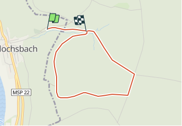

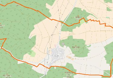
10,2 km | 12,5 km-effort

Tous les sentiers balisés d’Europe GUIDE+


Gratisgps-wandelapplicatie
 SityTrail
IGN / Geografische instituten
SityTrail World
De wereld gaat voor u open
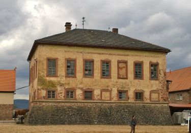
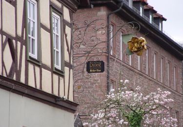
Tocht Te voet van 3,5 km beschikbaar op Beieren, Landkreis Main-Spessart, Lohr am Main. Deze tocht wordt voorgesteld door SityTrail - itinéraires balisés pédestres.
Trail created by Amt für Ernährung, Landwirtschaft und Forsten Karlstadt.
Website: http://www.steinfeld-msp.de/seite/de/gemeinde/0103:5317/-/Methusalem-Wanderweg.html


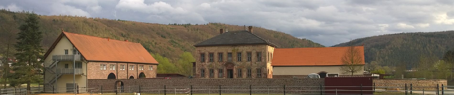
Te voet
Te voet
Te voet
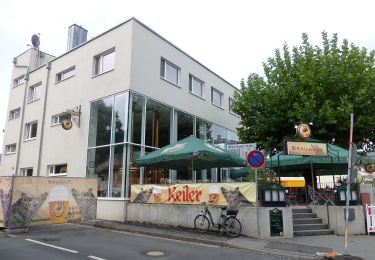
Te voet
Te voet
Te voet
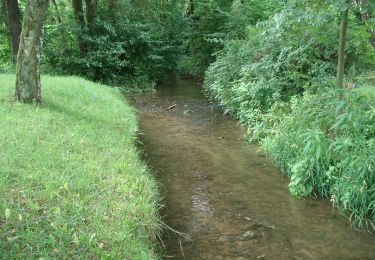
Te voet
Te voet
Te voet